Description
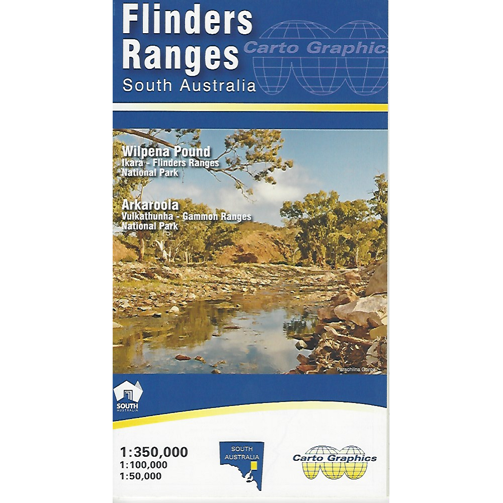
Flinders Ranges South Australia Map
The Flinders Ranges South Australia Map from Cartographics is a double-sided, multi scale, fold-out map. The main map covers the Flinders Ranges area from Orroroo to Mount Freeling showing full road detail, parks, place names, trails and facilities. This map ideal for general touring and adventure planning.
The reverse side has four inset maps over significant areas in greater topographic detail for bushwalking and back track exploring.
This map is also available as a folded, laminated version.
See this map for:
- Wilpena Pound
- Arkaroola
- Vulkathunka – Gammon Ranges National Park
- Dutchmans Stern Conservation Park
- Heysen Trail: Mt Remarkable NP to Parachilna Gorge


Reviews
There are no reviews yet.