Description
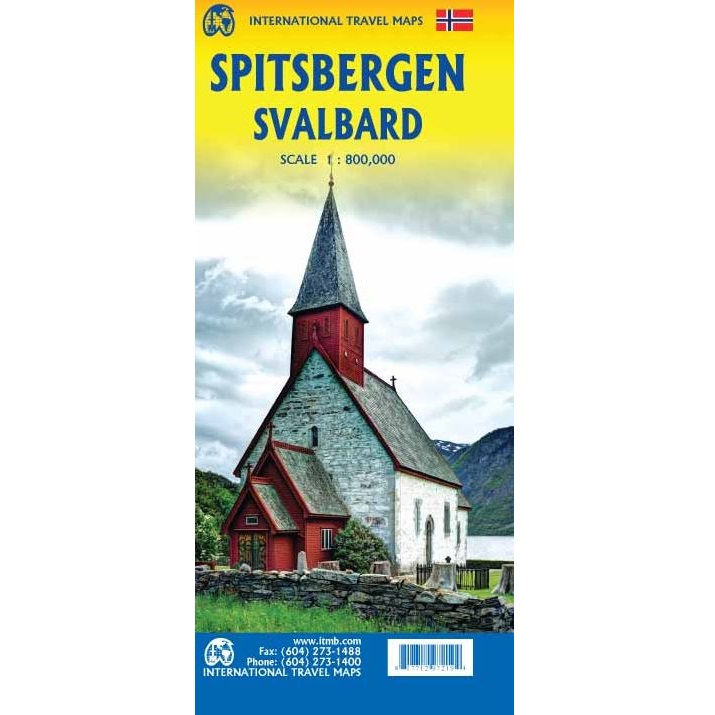
Spitsbergen/Svalbard Map
The Spitsbergen/Svalbard Map covers one of the northernmost communities in the world, an archipelago of islands situated north of Norway.
Side one shows the various islands as an entity. There is only one town of any size in the islands, called Longyearbyen, although there is a more northerly town called Pyramiden and an isolated community on the west coast called Alesund.
The second side of the map focuses on the far north of Norway, from Bodo all the way to Nordkapp and east to Norway’s border with Russia. Northernmost Sweden and Finland are included as well.
This is true high Arctic adventure travel; one does not come here unprepared! Most of the islands are uninhabited and largely ice-covered. Edge Island, for example, is a large nature reserve, and Prins Karl Forland is a national park. Land area names have been translated into English, with Norwegian names in brackets, but Norwegian names have been left in place wherever possible to assist with local usage.
Rail lines are shown with a red/white line going as far as Narvik (from Sweden) and Bodo (from Oslo). The map also includes a list of Top Attractions.




Reviews
There are no reviews yet.