Description
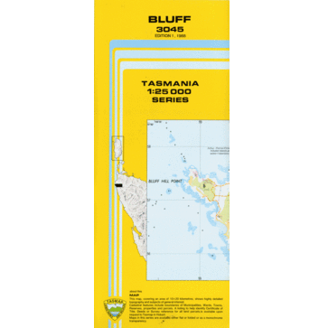
Bluff 1:25k Topo Map
The Bluff 1:25,000 Topographic Map covers the mouth of the Arthur River in the state’s north west.
This map is no longer available in print form due to the archiving of the 1:25,000 series. As such, alternatives for this map are:
- Montagu River 1:50,000 Topographic Map
- Nelson Bay 1:100,000 Topographic Map


Reviews
There are no reviews yet.