Description
Newfoundland & Labrador Travel Reference Map
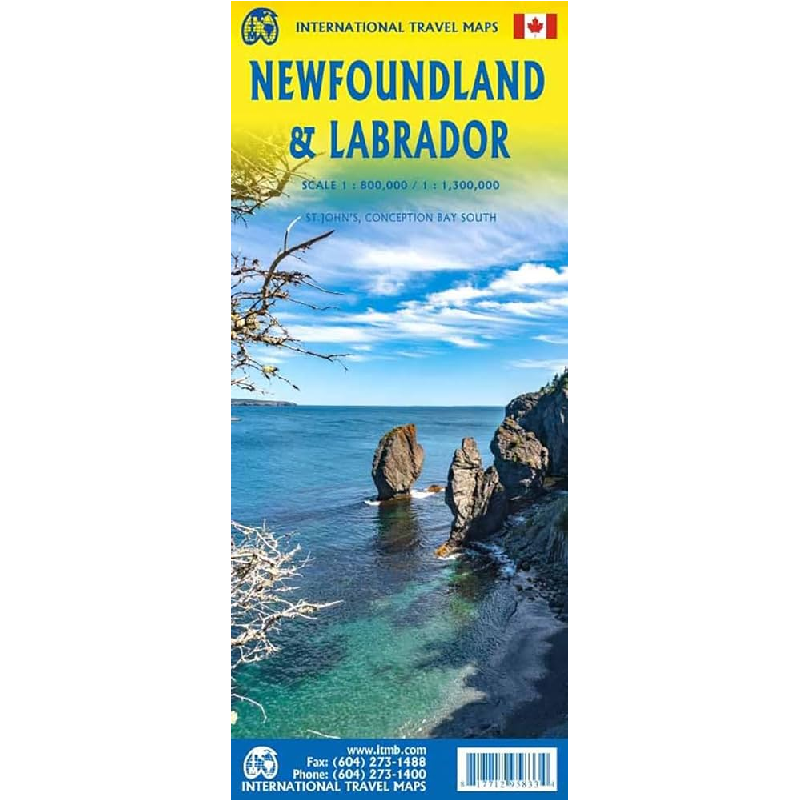
This Newfoundland & Labrador Travel Reference Map from ITMB is a double-sided map of the Canadian province at a 1:1,300,000 scale (Labrador side) and a 1:800,000 scale (Newfoundland side).
A double-sided map of Newfoundland & Labrador, with the island of Newfoundland on one side, showing all roads and villages, and the French islands of St. Pierre et Miquelon, as well as an inset map of St. John’s (the capital, and a fascinating city to visit).
The other side is unique. Labrador forms the wilderness part of the province. It has never been mapped properly by the government, so this is the first-ever map of this enormous and largely-unexplored part of Canada.
This map is printed on paper and the legend is in English.


Reviews
There are no reviews yet.