Description
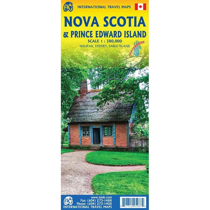
Nova Scotia & Prince Edward Island Travel Map
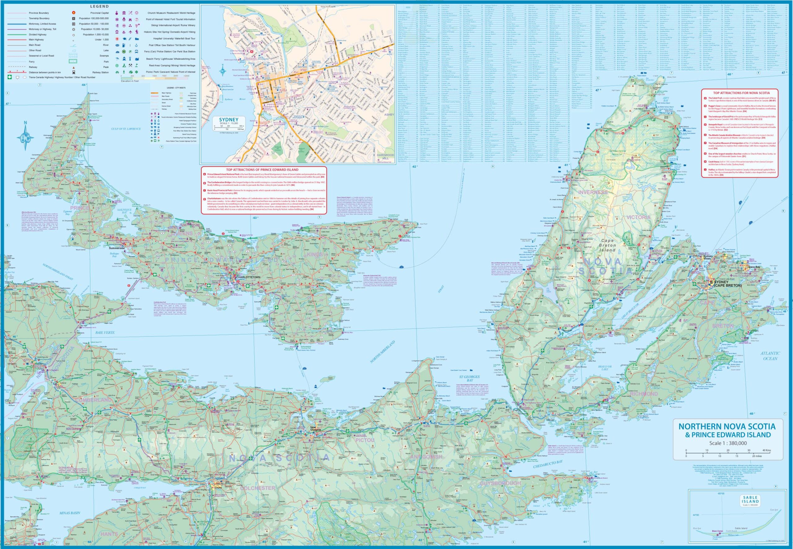
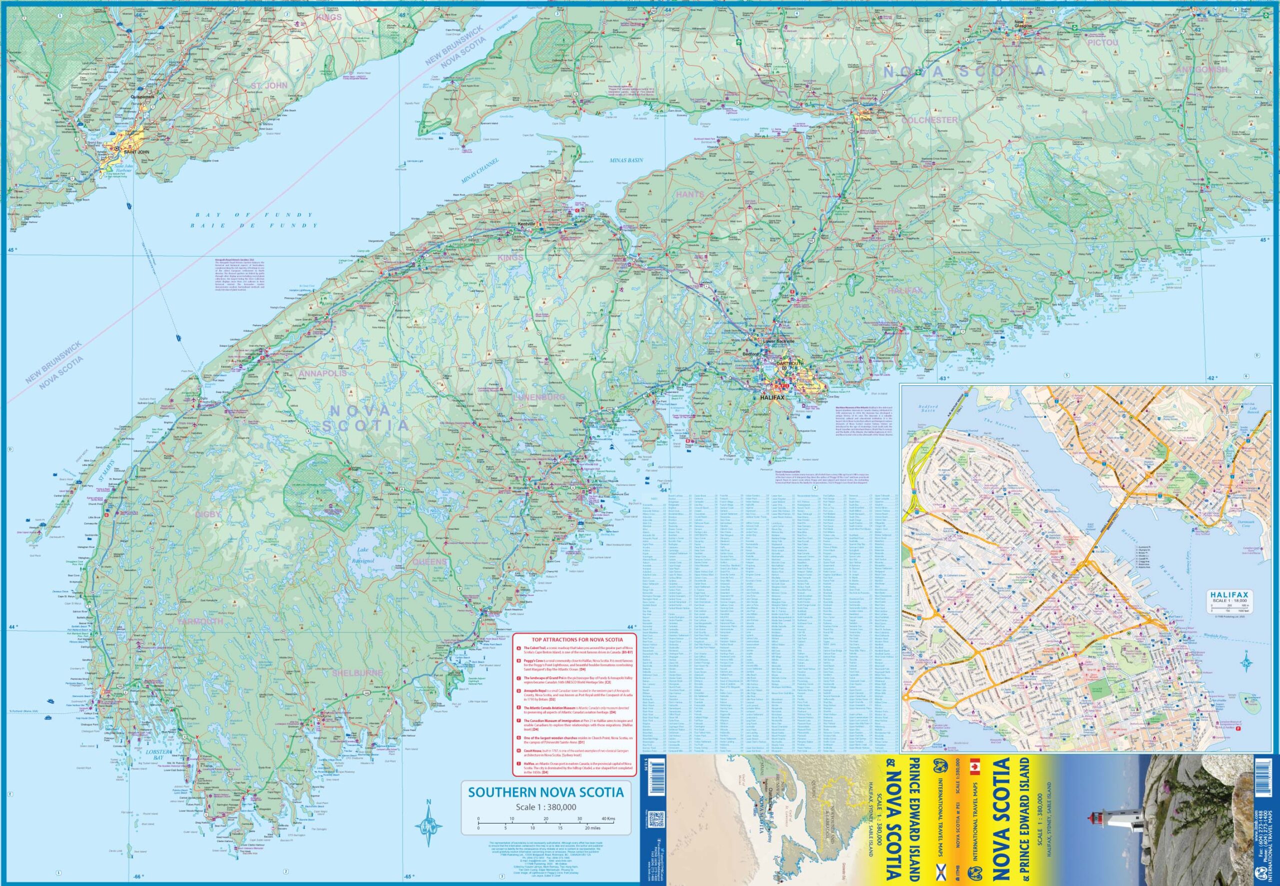
The Nova Scotia & Prince Edward Island Travel Map from ITMB is a double-sided, waterproof map of this region of Canada in 1:380,000 scale.
This map portrays both provinces in excellent detail, noting all major attractions, towns, parks, roads, and ferries. The first side focuses on Northern Nova Scotia and Prince Edward Island, while the other side shows Southern Nova Scotia. Inset maps of Halifax and Sydney are included.

Reviews
There are no reviews yet.