Description
Orlando City Map
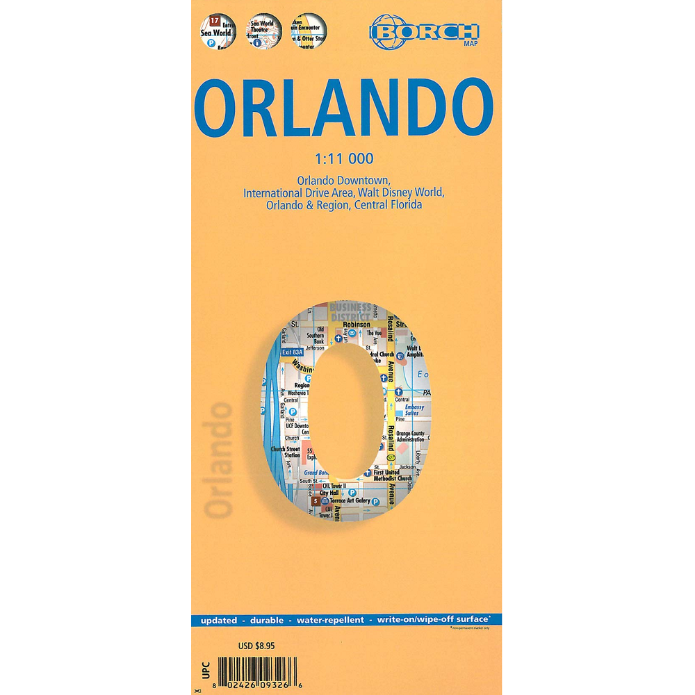
The Orlando City Map from Borch is a waterproof, folded road and travel map in 1:11,000 scale.
The legend includes sights, museums, monuments, churches, beaches, hospitals, bus stations, parking, golf courses, international/regional airports, camping sites, hotels, shopping malls, nature reserves.
Includes inset map of International Drive area, Walt Disney World, Orlando & region, Central Florida.
Features:
- Top 30 sights.
- Indexed.
- Climate charts show the average daily temperatures, humidity, hours of sunshine and precipitation for each month.


Reviews
There are no reviews yet.