Description
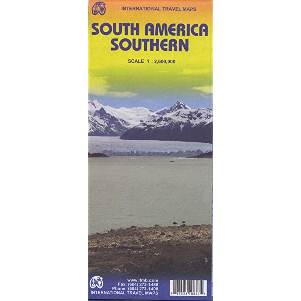
South America Southern Road Map
ITMB’s South America Southern Road Map is a double sided map of the southern part of the continent covers the territory roughly south of the Antofagasta (Chile) – Sao Paulo (Brazil) line.
The map has altitude colouring to show the topography and spot elevations.
Legend locates international, and provincial boundaries; settlements from major cities to smaller settlements; roads from paved highways to seasonal roads/tracks; paths; railways; ferries; mines and prospecting areas; rivers, canals, wells, lakes, glaciers, and other hydrography; active volcanoes; mountains and passes; lowlands; protected areas; ruins and other points of interest; reserves and national parks; lighthouses.
Includes a comprehensive index of place names as well as short information on the history of the European discovery of the continent and descriptions of regions and highlights. List of protected areas. S
cale 1:2,600,000. Inset map of Isla Robinson Crusoe 1:100,000.


Reviews
There are no reviews yet.