Description
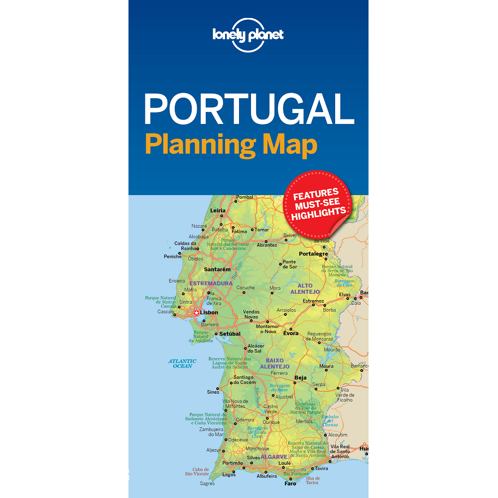
Portugal Planning Map
This Portugal Planning Map from Lonely Planet is durable and waterproof, with an easy-fold format – a great entry-level, map with basic coverage.
Get more from your map and your trip with images and information about top country attractions, itinerary suggestions, a transport guide, planning information, themed lists and practical travel tips.
With this easy-to-use, full-colour map in your back pocket, you can truly get to the heart of Portugal.
- Durable and waterproof
- Easy-fold format and convenient size
- Handy slipcase
- Full colour and easy to use
- Before-you-go info
- Beautiful imagery
- Tailored itineraries
- Can’t-miss regional highlights
- Detailed town index
- Transport planner
- Themed lists
This map covers Porto, Rio Douro Valley, Braga, The Beiras, Parque Natural da Serra da Estrela, Coimbra, Aveiro, Estremadura, Ribatejo, Batalha, Óbidos, Parque Natural das Serras de Aire e Candeeiros, Lisbon, Sintra, Cascais, The Alentejo, Évora, Marvao, Mértola, The Algarve, Cabo de Sao Vicente, Ilha de Tavira, Parque Natural da Ria Formosa, Faro, and Lagos


Reviews
There are no reviews yet.