Description
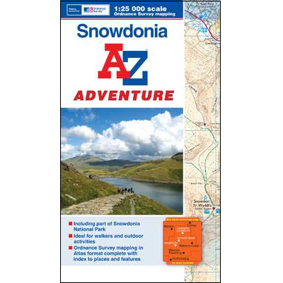
Snowdonia Adventure Atlas
This A-Z Adventure Atlas of Snowdonia (Wales) features 66 pages of continuous 1:25,000 scale Ordnance Survey mapping covering part of the Snowdonia National Park and includes:
- Conwy
- Snowdon
- Betws-y-Coed
- Blaenau Ffestiniog
- Portmadog
This A-Z Adventure Atlas has the accuracy and quality of OS Explorer mapping indexed within a book, making it the perfect companion for walkers, off-road cyclists, horse riders and anyone wishing to explore the great outdoors.
Fully indexed.


Reviews
There are no reviews yet.