Description
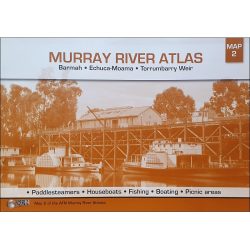
Cohuna – Echuca – Gunbower Forest Activities Map
The Cohuna – Echuca – Gunbower Forest Activities Map includes the Murray River Red Gum Forestsl Perricoota, Koondrook, Campbell’s Island, Guttrum, Benwell & Werai State Forests.
This map area is split into two main sections plus an overview map.It provides continuous coverage along the Murray River from Echuca to Barham extending over both sides of the map plus a separate inset of the Werai State Forest.
All parks, reserves and state forests are shown and roads and tracks have been plotted using GPS mapping technology. Symbols denoting camp sites, caravan parks, public toilets, fishing locations, boat ramps, fuel availability, hospitals, wineries and public telephones are clearly shown. Roads, vehicular tracks and walking tracks are also clearly identified.


Reviews
There are no reviews yet.