Description
Aboriginal Map of Australia
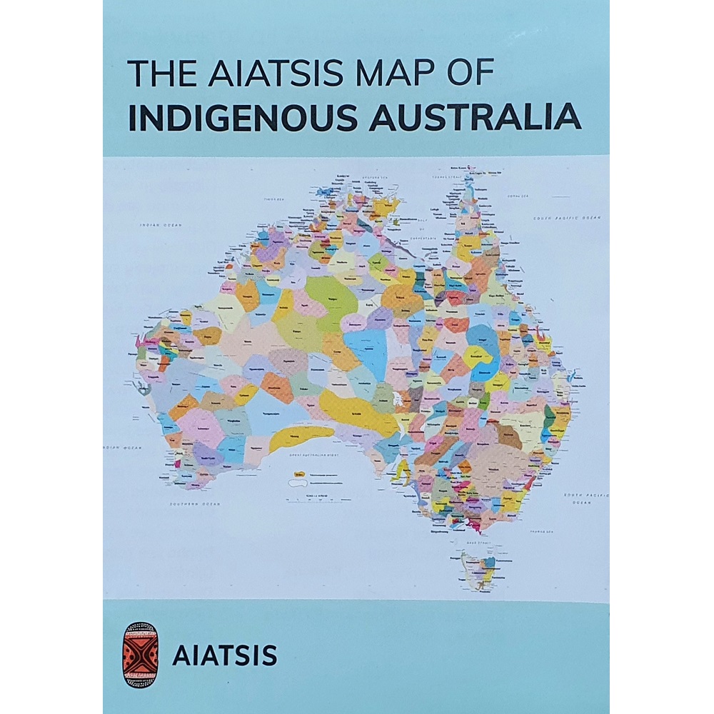
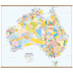
The Aboriginal Map of Australia shows the coverage of individual Aboriginal tribal areas by colour shading.
This map is published by Geoscience Australia in conjunction with Australian Institute of Aboriginal and Torres Strait Islander Studies. (AIATSIS)
This map presents work carried out for the Encyclopaedia of Aboriginal Australia between 1988 and 1994.
Using the published resources available at that time, the map attempts to represent all the language or tribal or nation groups of the indigenous people of Australia.
Each Aboriginal tribal region or nation is colour coded and named, showing the estimated boundaries.






Reviews
There are no reviews yet.